|
Total area: 1,030,700 km.
Land area: 1,303,700 km. Water area: 0 km. Countries that share a border: Algeria, Mali, Senegal, Western Sahara. Total distance of all land boundaries: 5,074 km. Total distance of coastline: 754 km. Description of climate: Extreme temperature, very little rainfall. Description of terrain: Flat, some cliffs and rock outcroppings. Point of lowest elevation: Sebkha de Ndrhamcha, 5 m. below sea level. Point of highest elevation: Kediet ej Jill, 915 m. above sea level. |
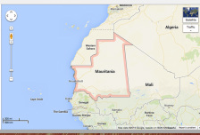
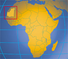
Map of Mauritania.
|
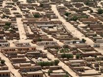
Nuoakchott, Maritania.
|